In this article, we’ll provide an outline of the equipment typically used in building elevation surveys.

1April
1April
In this article, we’ll provide an outline of the equipment typically used in building elevation surveys.
25March
In this article, we’ll discuss which monitoring surveys benefit from which interval type, from shortest to longest and why this may be the case.

29February
Building elevation drawings from elevation surveys are crucial to the likes of architects for many reasons- in this article we’ll outline the main ones.

22February
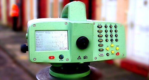
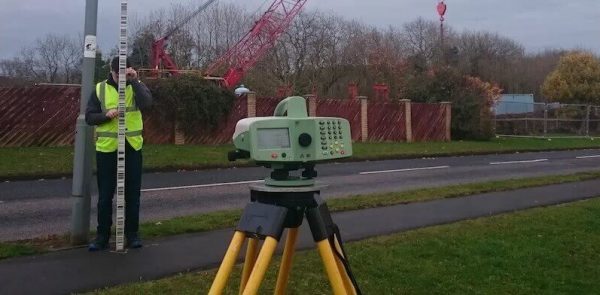
In this article, we’ll delve into the essential equipment used to complete monitoring surveys.

12January
In this blog, we’ll outline why bathymetric surveys are specifically important for land development, for both urban planners and environmental reasons.
5January
In this article, we’ll outline all the different ways monitoring surveys can be completed, and discuss the best equipment to use for each.

14December
In this article, we’ll outline how this technology works, how we deliver its data to clients as well as some of the benefits of a 3D laser scanning survey.

10November
Topographic Surveys and Boundary Surveys both have distinct purposes and offer their own unique advantages. In this article, we’ll shed light on their differences.

7November
This article will look at how measured building surveys can be used on listed buildings and the importance of choosing professional surveyors.

3November
This article is all about topographic surveys, or ‘topo’ surveys which is a land-based survey that studies the ground's surface and features in a given space.
