Topographic Surveys and Boundary Surveys both have distinct purposes and offer their own unique advantages. In this article, we’ll shed light on their differences.
The terms ‘topographic survey’ and ‘boundary survey’ may seem similar at first. However, each of these land surveys have distinct purposes, and offer their own unique advantages and limitations.
In this article, we’ll define each of these surveys, and discuss when it’s appropriate to utlilise each one.
Topographic Survey
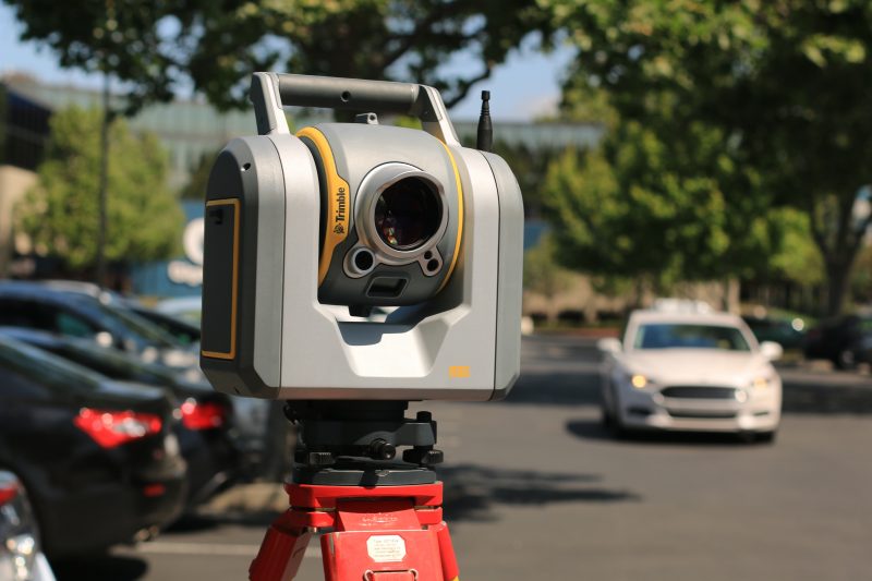
A topographic survey, also known as a contour or topo survey focuses on mapping out the natural and man-made features within a given area of land.
Topographic surveys provide a detailed representation of the land’s surface, including changes in elevation, buildings, trees, roads, bodies of water or other relevant characteristics.
When a topographic survey would be used:
Land development: Topographic surveys are essential in the early stages of land development projects. Architects, engineers and planners use their data to then design new buildings, roads or general infrastructure work that takes the existing landscape into account.
Environmental assessments: Accurate topographical data is also used for environmental research. The data provided can help us understand the impact that certain construction projects will have on the natural environment. This ensures projects can be executed in the most environmentally responsible way as possible.
Flood risk assessments: The data is also invaluable for determining areas of potential risk, and redesigning flood control measures.
Boundary Survey
As it’s name suggests, this type of survey focuses on defining the legal property boundaries of a piece of land. The survey involves locating and marking the property’s perimeter lines, corners, and any encroachments.
When a boundary survey would be used:
Real estate transactions: When buying or selling land, boundary surveys are crucial in confirming a property’s size and perimeters.
Property disputes: In cases of property disputes or boundary conflicts with neighbours, a boundary survey can resolve these issues by providing legally valid evidence.
Construction compliance: In order to avoid legal issues, you must ensure that any construction activity remains within legal boundaries, and boundary surveys can provide this information.
Comparison
Both topographic surveys and boundary surveys are crucial measures when it comes to land surveying. While topographic surveys provide a wealth of information about a property’s physical characteristics, boundary surveys focus on establishing clear legal boundaries.
When choosing which is best, it depends on your project’s specific needs, whether it be land development, real estate transactions, or resolving property disputes. Ultimately, both types of surveys are crucial for ensuring responsible land use and property ownership in the ever-changing landscape of real estate and development.
Understanding the difference between these surveys can help you make informed decisions when working with land and property. When making such decisions, it’s important to contact professional surveyors as they can guide you in choosing the right survey for your needs, and discuss things like boundary or topographic survey cost.
Looking for a professional land surveyor?
At Landform Surveys, we aim to provide an accurate and cost effective surveying service, allied to a fast turnaround when time is of the essence. Contact our survey specialists today.
