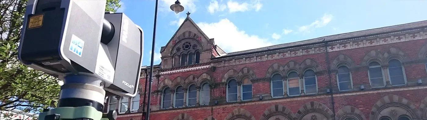
We have carried out elevation surveys of a wide variety of structures throughout the UK, including bridges, historic buildings and churches, office blocks and hotels. Detailed and accurate elevations of buildings and structures are required for many building schemes.
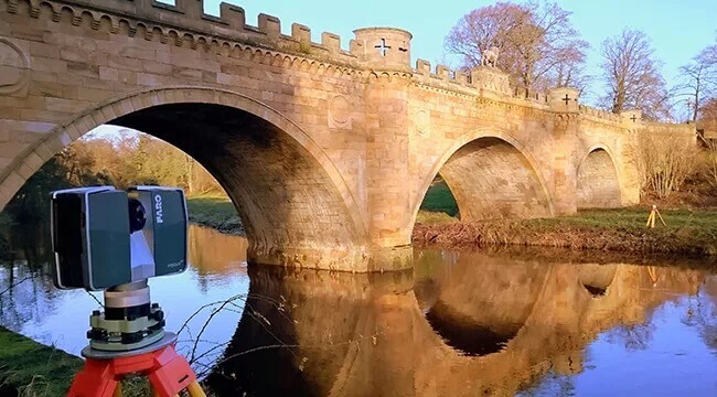
Landform Surveys use a Trimble TX8 scanner to provide elevation data. This instrument is at the forefront of scanning technology, and can scan up to 1 million points/sec on a typical 3 minute scan time. Accuracy is in the order of 2mm for a range of 100m.
What is an elevation survey?
An elevation survey is an accurate representation of a structure and will include all structural openings, such as doors and windows, string courses, stone features, lintels, vents, etc
What is an elevation used for?
An elevation survey is used for planning and development for both the structure and building work
They can also be used for scheduling and planning for on-going and future maintenance work.
What are the benefits of a elevation survey?
The benefits of doing an elevation means having accurate data that can be used in planning and decision-making. This can help make future proofing your structures more efficient, which saves money and time further on.
What you can expect from our surveys?
Depending on the project we would usually use laser scanning to capture the data. We work closely with our clients to determine their needs. The resulting survey will only have the level of detail as required by the client.
Our recent elevation surveys
- Detailed elevations of a number of bridge structures in Northumberland
- Detailed elevations of a major hotel in Newcastle