
1April
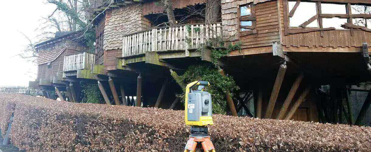
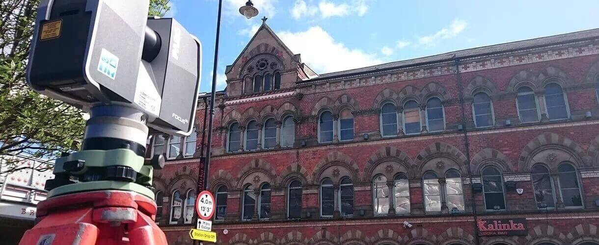
Landform Surveys, established in 1994, provide a comprehensive range of surveying services throughout the UK. Using the latest technology allied to traditional survey techniques, we can conduct a variety of surveys to suit client requirements.
From our Newcastle upon Tyne headquarters, we offer a variety of surveying services such as Topographic Surveys, Measured Building Surveys and Elevation Surveys, 3D Laser Scanning Surveys, Quarry and Landfill site surveys, GPS surveys, and Engineering/Setting Out Surveys.
Landform Surveys carry out surveys in accordance with the latest edition of the RICS guidance note for Measured Survey of Land, Buildings and Utilities or to client supplied specification, if applicable.
“You produced the best topographical survey we have ever seen and we wish
you were located further south to do all our other projects!!”


