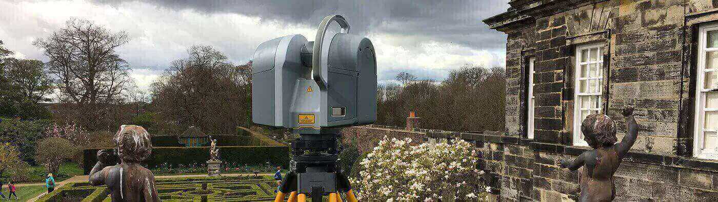
A 3D laser scanning survey works by collecting data points from a building or structure remotely and at a speed and level of detail that conventional survey techniques cannot match. It is a non-invasive technology that captures a set of data points (the point cloud) and maps them on a grid coordinate of x, y and z.
What are 3D laser scanners used for?
The data captured in a 3D scan can be used to produce floor plans, elevations, cross sections, and as built drawings. With this technology, we can also produce excellent photo realistic representations and visualisations when combining scan data with HDR photography.
3D laser scanning is a crucial component in enabling 3D Modelling and Building Information Modelling (BIM).
What are the benefits of this type of survey?
One of the key benefits is that complete data collection enables further investigations to be carried out later on without costly return visits to site.
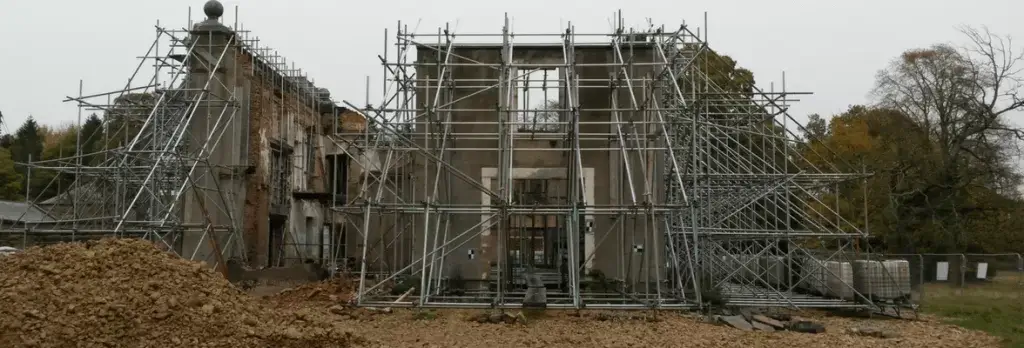
The accuracy of the data gathered means that it can be confidently used for planning for restoration cor building extensions. There are some situations where conventional techniques aren’t suitable such as on hazardous sites. This is where the advantages of a remote surveying method can also be useful.
What can you expect from our surveys?
Landform Surveys uses the latest 3D scanning technology, capturing over 1 million points per second, to produce extremely high levels of detail and functionality.
The final deliverable can also be published in Trimble Realworks Viewer format. This allows you, via a free plug-in, to view, edit, zoom-in, measure and mark-up point cloud image information. It is quick and easy to use, and allows coordinates and measured distances can be extracted from the point cloud data. We can provide scans in a variety of outputs, including 2D/3D Autocad drawings, point clouds, rectified images.
Want to find out more about 3D Laser Scanning Surveys? Check out our Essential Guide to 3D Laser Scanning Surveys.
If your project requires a 3D laser scanning survey, contact us today for more information.
Our recent surveys
- Survey of building in Mitcham Park, London to produce Elevations and Floor Plans.
- Survey of Aykley Heads Communications Tower (listed structure) to enable proper planning of how mast can be re-sited.
- Survey of roof structure at Newcastle Central Station to produce point cloud of interior configuration of the roof.
- Survey of Production buildings at Calor Gas, Teesside, to produce plans, elevations and point cloud data to assist in the reconfiguration of buildings.