Often when surveying historic buildings we come across many challenges, which limits the types of surveys available.
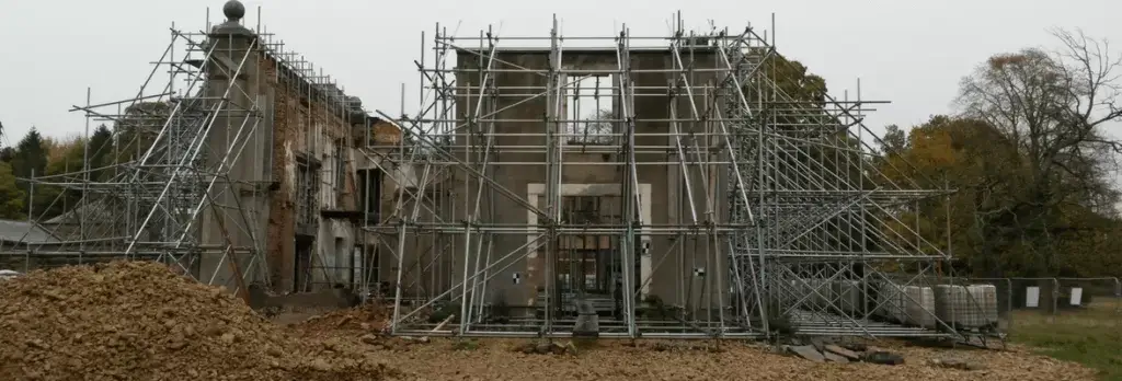
Woolsington Hall is no exception to this. We had the opportunity to survey Woolsington Hall, a Grade II listed country house, built in the 17th century. Unlike most historic buildings we survey, this one had been damaged in a fire in late 2015.
We were approached by Metnor Construction with an initial enquiry about surveying the remaining part of the building, which was seriously fire damaged. Our client wanted to get a 3D point cloud of the remaining structure to assess the structural condition and stability. As the structure is unstable, it was not an option to enter the structure to survey meaning we had to figure out a way to gather the data at a safe distance.
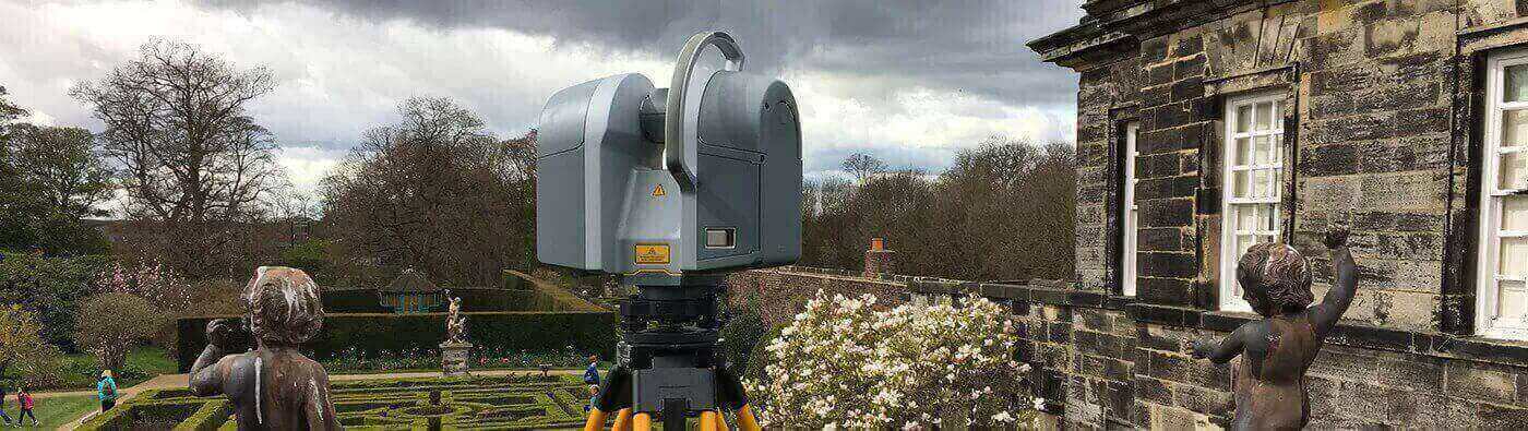
A 3D laser scanning survey was determined to be the best survey for the job, mitigating health and safety concerns while still being comprehensive enough to provide the level of detail our client needs. After visiting the site and conducting the survey, we delivered the point cloud data through an. RCP file.
The client received a clear scale model of the current structure of the building. They benefited from the point cloud survey as it picked up every detail of the building, which was essential as half of the building is collapsed. With the data, the client will be able to create models and projections so that the hall can be redeveloped to its former status in the future.
Eric Hinds says of the survey, “The only safe was to carry out this survey was laser scanning, and the final product was far superior to that of traditional methods.”
We enjoyed surveying Woolsington Hall and look forward to what Metnor Construction has in store with the reconstruction.