In this blog, we’ll outline why bathymetric surveys are specifically important for land development, for both urban planners and environmental reasons.
Bathymetric surveys play a pivotal role in land development, especially in coastal regions and areas near water bodies.
These surveys provide invaluable insights into underwater terrain, depth variations, and the composition of submerged land, aiding in informed decision-making when it comes to the land development process.
In this blog, we’ll outline why bathymetric surveys are specifically important for land development, for both urban/coastal planners as well as for environmental reasons.
Using Bathymetric Surveys for Land Development
Understanding the topography beneath the water’s surface is crucial for various aspects of land development.
The primary purpose of bathymetric surveys is to map and analyse the underwater landscape, determining depths, contours, and any potential obstacles or hazards that might affect development projects.
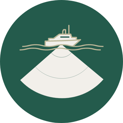
Our hydrographic surveyors conduct these surveys, utilising the most up-to-date specialised equipment and techniques to gather accurate data.
The information gathered from our bathymetric surveys enables developers, engineers, and urban planners to assess the feasibility of construction projects, identify suitable locations for structures like docks, bridges, or offshore installations, and ensure safe navigation in waterways.
Using Bathymetric Surveys for Coastal Development
In coastal areas, the data obtained from bathymetric surveys assists in coastal management and erosion control.
Understanding the underwater topography aids in creating effective strategies to mitigate erosion, protect shorelines, and plan for sustainable coastal development.
This information is also vital for disaster preparedness and response, as it allows for the prediction of potential flood zones and helps in developing appropriate evacuation plans.
Assessing Environmental Impact
Furthermore, bathymetric surveys contribute significantly to environmental conservation efforts during land development.
Understanding the underwater ecosystem helps in designing projects that minimise disruption to marine habitats and ecosystems.
By identifying sensitive areas through these surveys, developers can strategise to protect and preserve marine life while carrying out necessary construction or infrastructure development.
Bathymetric Survey Methods
Equipped with their expertise and advanced technology, our hydrographic surveyors conduct bathymetric surveys using various methods such as multibeam sonars, acoustic doppler current profilers and sub-bottom profilers.
These techniques enable precise mapping and 3D modelling of underwater terrains, providing accurate data for informed decision-making in land development projects.
Bathymetric Surveys by Landform
Understanding the underwater landscape through bathymetric surveys ensures sustainable and responsible land development practices, benefiting both human infrastructure and the surrounding natural environment.
If you think your project requires a bathymetric survey, contact our team who have over 15 years of experience in completing multiple types of surveys.
