In this detailed guide, we will review the many forms of land surveys and emphasise the multiple advantages they provide for various projects.
31May
31May
In this detailed guide, we will review the many forms of land surveys and emphasise the multiple advantages they provide for various projects.

18April
With artificial intelligence (AI) advancing at a record speed, it is becoming a more prevalent topic of discussion for a variety of industries and sectors, including the surveying industry.
16February
When it comes to surveys, there are many different types of surveys that we use in our everyday lives. However, in this article we are focusing on professional surveying solutions, which are conducted by qualified surveyors. So, if you are interested finding out more about the surveys we provide at...

27January
Over the past ten years, drone surveys have continued to be a popular surveying method due to the associated benefits. Keep reading to find out everything you need to know about drone surveys.

5December
Measured building surveys are a popular surveying method that continue to be used on projects across a range of sectors. In this article we are answering the most frequently asked questions about measured building surveys.

9November
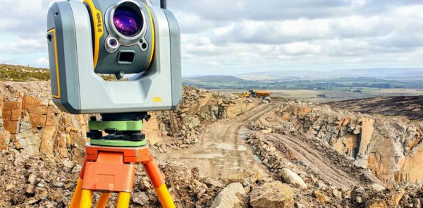
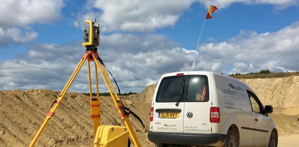
3D Laser Scanners are highly useful surveying tools for project planning and management. In this article we are taking a look at what 3D laser scanners are and the top benefits they could have on your project.

25October
Are you looking for a rewarding career that typically pays well and does not involve you sitting at a desk all day? Well, land surveying may be the perfect career choice for you!
23September
A topographic survey, also referred to as a land, terrain or topo survey, is a type of survey that maps the boundaries, features, and levels of a site. Topographic surveys are a key component of the design process for a site and should be completed prior to detailed design work.
...
5August
A monitoring survey is an action taken to see if or how far a building or structure has moved over time. There are different techniques, amounts of detail, and types of equipment involved in carrying out a monitoring survey.

23October
The first edition of the IMD Smart City Index 2019 was released at the start of October, ranking 102 cities in order of ‘intelligence’. It was presented by the IMD World Competitiveness Centre’s Smart City Observatory, in a partnership with Singapore University of Technology and Design. The index focuses on...
