30October
Choosing the Right Measured Building Surveyor for Your Project
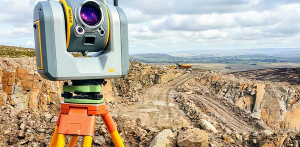
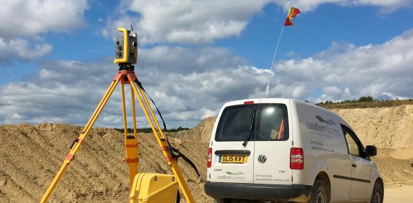
A involves surveying of the inside and outside of structures or buildings. It can produce many things, from a simple floor plan to a full 3D model of a building’s interior and exterior features.
In this article we will outline what the measured building survey process is, and how you can...