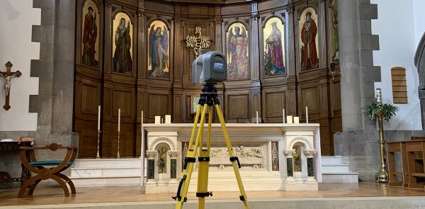
3D laser scanning is considered one of the most efficient and accurate methods for measuring infrastructure. A 3D laser scanning survey involves the remote collection of data points from a building or structure at a higher speed and with a greater level of detail than conventional surveying techniques. The captured...
15June
