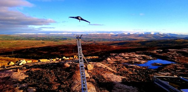
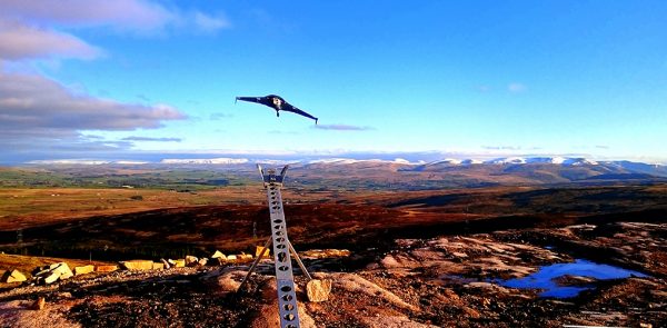
Over the past ten years, drone surveys have continued to be a popular surveying method due to the associated benefits. Keep reading to find out everything you need to know about drone surveys.
27January
27January
Over the past ten years, drone surveys have continued to be a popular surveying method due to the associated benefits. Keep reading to find out everything you need to know about drone surveys.

5December
Measured building surveys are a popular surveying method that continue to be used on projects across a range of sectors. In this article we are answering the most frequently asked questions about measured building surveys.

9November
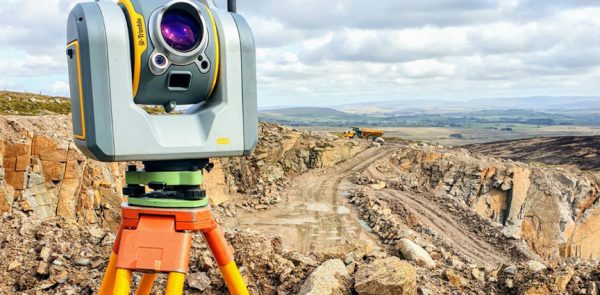
3D Laser Scanners are highly useful surveying tools for project planning and management. In this article we are taking a look at what 3D laser scanners are and the top benefits they could have on your project.

25October
Are you looking for a rewarding career that typically pays well and does not involve you sitting at a desk all day? Well, land surveying may be the perfect career choice for you!
23September
A topographic survey, also referred to as a land, terrain or topo survey, is a type of survey that maps the boundaries, features, and levels of a site. Topographic surveys are a key component of the design process for a site and should be completed prior to detailed design work.
...
30August
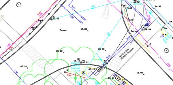
A Utility Survey or Underground Survey is a survey that identifies any below ground cables or pipes in order to locate water, power, fibre optics, drainage, sewage, gas and telecommunications beneath the area that is being surveyed. The detection and mapping of utilities surveys can be one of the most...
25July
Drone surveys involve using unmanned aerial vehicles (UAVs) to carry out a survey. Over recent years, the use of drone surveys has continued to gain popularity in the surveying industry, due to the associated benefits of using this method.

5July
Setting out, also referred to as staking out or laying out, involves transferring the building design to the land itself and occurs once architect’s plans have been finalised and data from a topographic survey has been gathered. In this guide we share our expertise on setting out.
15June
3D laser scanning is considered one of the most efficient and accurate methods for measuring infrastructure. A 3D laser scanning survey involves the remote collection of data points from a building or structure at a higher speed and with a greater level of detail than conventional surveying techniques. The captured...
18May
Measured building surveys involve the internal or external mapping of buildings and structures, detailing the architectural elements and structural features of a building and are often considered an essential stage of the design and planning process of a variety of projects, including planning applications, conversation on listed buildings, house extensions...
