An elevation survey is used to accurately represent the outside facade of a structure. It depicts all structural openings and features, including doors and windows, string courses, lintels, vents, electricity points, and more.
Usually undertaken as part of a measured building survey, an elevation survey provides you with a detailed drawing of the outside of the building or structure, correct to size and labelled appropriately. Although elevation surveys are most commonly used in the planning and development of a structure, they can be used for many different reasons.
In this blog, we take you through a few of the most common reasons why you might need an elevation survey.
Right to light elevation survey
In the UK, there are strict rules regarding how much natural light is let into a room. These laws are designed to ensure that everyone has access to natural light. In a commercial building, half the room should be lit by natural light. In your home, just over half the room should be lit by natural light.
Your right to natural light is protected under common law, adverse possession by the Prescription Act 1832 in England and Wales. Sometimes, new building proposals can fall foul of the right to light laws, as their elevation would cause existing structures to fall into the shade.
You can use an elevation survey to collect the data necessary to undertake a full right to light survey. This will usually a 2D site plan and elevation survey of any existing buildings and structures and photographic records of buildings and structures. The data from the survey will be imported into right to light software packages for accuracy.
Building refurbishment elevation survey
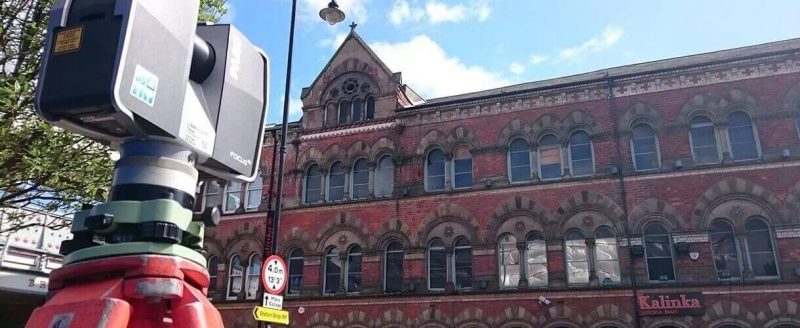
When a building is to be refurbished, it is vital to the success of the project that the existing structure is measured and surveyed in the most comprehensive way possible – an elevation survey. This is particularly important if the refurbishment taking place is an exterior survey, such as those involving the replacement of structural features, facade, and cladding.
An elevation survey can be used to provide a map of the structural facade using 3D laser scanning. Landform Surveys uses the Trimble TX8 to provide high-quality, high-speed data capture and communication. This instrument is capable of scanning up to 1 million points/sec during a typical scan.
Record drawings elevation survey
As building construction projects progress, changes often take place due to unforeseen on-site circumstances. Whether minor or major, these changes must be recorded.
The client will often ask for record (as-built) drawings in order to document what has actually been built. For an accurate record drawing of the exterior of a structure, an elevation survey is typically used. This final drawing can be compared to the planning drawings to document changes.
Landform Surveys has worked with a wide range of clients across the UK to produce detailed, accurate elevation surveys for various uses. An elevation survey will mean you are able to future-proof your structure, saving time, money, and hassle later on.
Get in touch with the team today to discuss your elevation survey brief.
