In the developing world, our cities are constantly growing and evolving. As the global population increases - and more people migrate from rural to urban areas - it falls to city planners, civil engineers, and surveyors to ensure that enough is being done to meet the demands of a constantly growing society.
Global positioning measurements need to constantly be updated in order to facilitate everything from map updates to Uber routes. Surveyors play a vital role in this, working alongside city planners and private clients in order to keep geospatial databases up to date.
However, surveying in a city presents a number of challenges. This isn’t the great outdoors, where there’s more than enough space for surveyors to do their job and finish up without being distracted or interrupted.
Cities are full of people, vehicles, constantly changing environments, and are also subject to complex risk assessments in order to ensure the safety of both the general public and the surveyors themselves.
So, when surveying in a city, we need to be conscious of the methods and techniques we use. Choosing the right method means more efficient and effective data collection, as well as a better working environment and less impact on our surroundings.
Which surveying methods are used in cities?
As mentioned above, different jobs require different data collection methods, equipment, and timescales. Surveyors must learn to plan for and adapt to any environment in order to best complete the brief at hand.
There are many different types of inner-city survey, each with its own methodology requirements. Take the following, for example:
- Transport
Speed traps, car counters, footfall sensors, aggregated data from public transport services stored in a GIS
- Geo-environmental
Ground investigations, risk assessments, environmental monitoring (land displacement, etc.) - Structures
Concrete scanning, materials testing - Geospatial
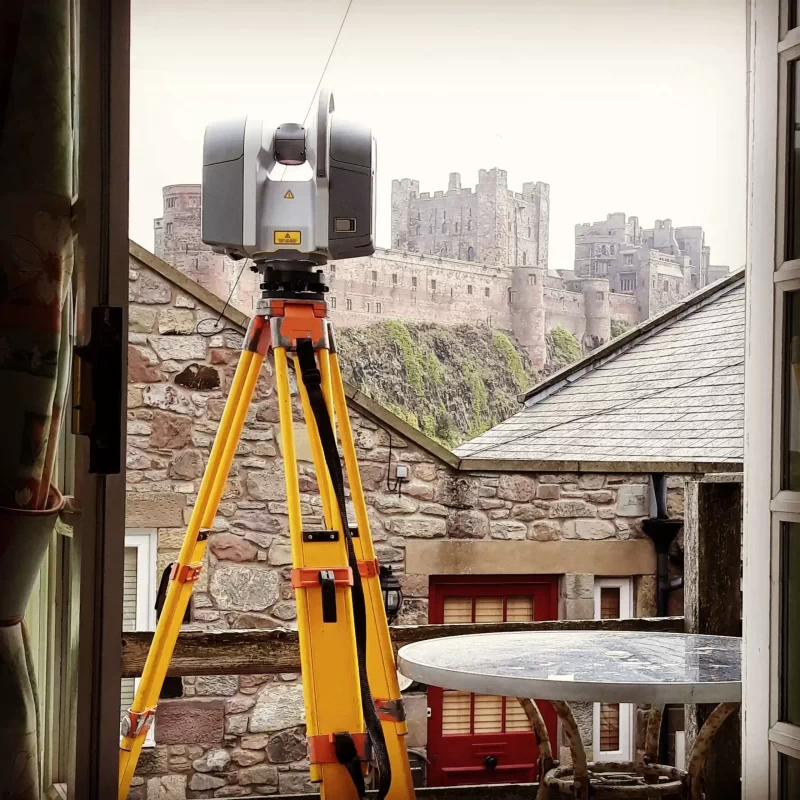
3D laser scanning and modelling, topographic surveys, elevation surveys, measured building surveys - Site Engineering
Volume surveys and calculation, setting out surveys (for positional accuracy), using total stations, GPS, and strict testing measures - Monitoring
Monitoring of: structures, railway tracks, vibration and noise, footfall, etc - Telecommunications
Planning, utility mapping, as-built surveys
Surveying for big inner-city projects
Before civil engineering projects can go ahead, city planners need to know exactly what they’re digging up. Failure to do so can result in streets losing power, bus routes being disrupted, water mains bursting, and dangerous (or even fatal) working conditions.
Surveyors use electromagnetic surveying technology along with ground-penetrating radar to create composite CAD drawings of a utility map. This means that everyone involved in the project can see where on the site utility lines are – from fibre-optics, drainage, and sewers to gas, power, water, and telecoms.
Of course, this type of survey is most commonly associated with city centre renovation, roadworks, the council ripping up the pavement (again), and remodelled high streets. However, it’s a crucial part of inner-city development and is necessary to ensure the safety of workers and the public alike.
Get in touch with Landform Surveys
With over 20 years of surveying expertise, Landform Surveys understand the challenges an inner-city survey presents.
We’ve completed extensive surveys for the likes of the Great North Run, which must accommodate 43,000 as well as thousands of additional spectators. Interested in an inner-city survey? Get in touch with us today on 0191 265 0555.
