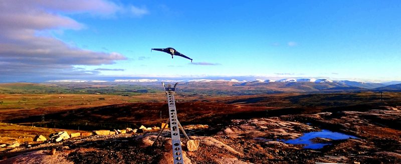
Drone surveys involve using unmanned aerial vehicles (UAVs) to carry out a survey. Over recent years, the use of drone surveys has continued to gain popularity in the surveying industry, due to the associated benefits of using this method.
From improved health and safety to time-saving and cost-saving, this article takes a look at the top five benefits of using drone surveys over other methods.
1. Accurate
As a result of rapid improvements in UAV and camera technology over the past decade, drones are now able to use cameras that can shoot up to 5.2k resolution images and video. The higher the pixel density, the more accurate the survey is. In addition to improved camera technology, stabilisation techniques have also advanced, enabling drones to capture images in the most severe weather condition. This accuracy is one of the drone’s strongest benefits and a key reason why it is a popular survey method.
2. Time Effective
Compared to other surveying methods, drone surveys can be completed in less time, as drones are able to cover large areas of land within a short period. Typically, drone surveys can produce high quality photographs and video recordings in a couple of hours. In addition, flight paths can be pre-planned which can save a significant amount of time.
As well as reducing the time of the survey itself, using drone surveys can reduce the overall project length, from initial planning, through to the final data processing and end product delivery, making it a suitable method for projects with strict time constraints.
3. Cost Effective
Compared to terrestrial, light aircraft and helicopter surveys, drones have relatively low overheads and can significantly reduce surveying costs for your project. Drone surveys access new horizons and perspectives without the huge costs and operational considerations required for other survey types. As the use of drones for surveys is an affordable option, that still outputs highly accurate aerial surveys,
4. Improved Health & Safety
Other aerial surveys require the use of heavy equipment at a height, which poses a risk to the health and safety of those involved with the survey. However, the use of a drone eliminates the need for individuals to work at a height, reducing the risk of accidents occurring during the survey.
5. Easy Access
Drones allow for easy access to hard to reach locations, with minimal down time and disruption required. Using a pre-planned flight path, drones can capture data for towers, masts, roofs and wind turbines with ease.
Our Drone Surveys
At Landform Surveys, we carry out a range of surveys using drones, including topographic and land surveys and quarry surveys. All of our drone pilots are licensed and certified by the Central Aviation Authority (CAA), having undergone proper training and examinations to fly a drone for commercial purposes.
If you are interested in our drone surveys for your project, please contact our surveying specialists today to discuss your options and find out more.
