In this article we are answering some of the most frequently asked questions on drone surveys to help others understand more about this surveying method and why it continues to be a popular option for a variety of projects.
What is a drone survey?
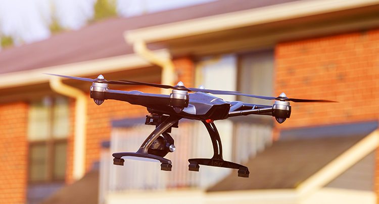
Drone surveys involve using an unmanned aerial vehicle (UAV), also known as a drone, to capture data that is then used to produce a digital terrain model of a mapped area.
How accurate is a drone survey?
Drone surveys are a highly accurate surveying method that can be narrowed down to +-1cm.The accuracy does depend on the drone used and the supporting equipment you have on-site. The accuracy of a drone survey can be narrowed down to +- 1cm. However, the accuracy of the drone survey depends on the particular drone, equipment, and processing software that is used.
How do drones collect data?
The most common data collection source used for drone surveys is Geographic Information Systems (GIS), which has the capability to interpret raw data and transform it into actionable information in real-time.
How much does a drone survey cost?
The cost of a drone survey varies from project to project, as pricing depends on the size of the site that is being surveyed, the quality required and the time that is given to produce the survey. Our surveyors can provide you with further information on our drone survey pricing.
How to do a drone survey?
Plan your flight.
It is common practise to create a survey flight plan before conducting the survey, which can be completed using a flight planning app.
Set up your flight in the field.
This step involves assembling your drone ready for the survey and making sure weather conditions are suitable for the survey to take place.
Fly and collect images.
A surveyor will monitor the drone during its flight, to ensure no issues occur.
Geotag your images.
Depending on the technology used by the drone, the collected data may need to be geotagged.
Import Images into Photogrammetry Software
The captured images will need to be uploaded in a photogrammetry software which will create 2D or £D models of the surveyed site.
What deliverables can you expect with drone surveying?
Drone surveys provide a variety of outputs including:
- 3D Cloud Point
- Orthomosaic maps
- Digital terrain model (DTM)
- Digital surface models (DSM)
- Contour lines
- 3D textured mesh
However, deliverables depend on both the camera or sensors that were used, the software that is used for processing, and the individual needs of a project.
What drone survey equipment is best?
The best drone equipment to use for your land surveying project will depend on many factors, including the size of the survey site, the desired output quality, your budget and preferences
Our Drone Surveys
At Landform Surveys, we use drones to acquire aerial data and produce a range of surveys, including land and topographic surveys and quarry surveys. Get in touch with our team today to discuss your project needs.
