A Ground Penetrating Radar Survey, commonly referred to as a GPR survey, is a geophysical locating technique that makes use of radio waves to take images of entities below ground level without digging up the soil. The objects that need their images captured should not be too far into the ground (not more than tens of metres below surface level). Additionally, the further down the area surveyed is, the lower the quality of the image taken would be. There are different ways a GPR system can be set up but it all depends on the purpose of using it.
What is a Ground Penetrating Survey Used for?
GPR Surveys are used to find the exact location of natural or man-made objects underground, natural elements or detect changes in the position of those objects. For example, surveyors can use them to detect changes in the soil profile, pockets of air, the layout of underground pipelines, rocks, groundwater tables & other geological features, etc.
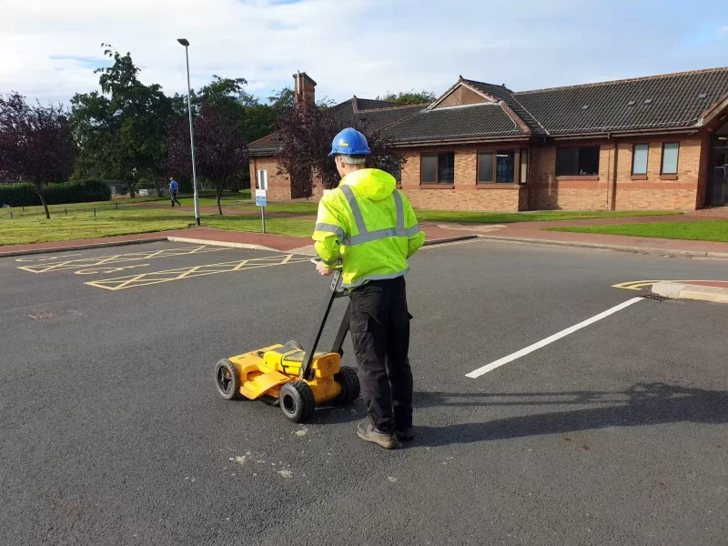
It works by sending high-frequency (50 – 1,500MHz) electromagnetic pulses into the ground to take the needed images. GPR systems have two key pieces of equipment; the transmitter and the antenna. The transmitter – which would be close to the ground – would send radar signals into the ground, and the signals reflected would be detected by the antenna. The signals received would be processed and shown on a graphic recorder. Furthermore, as the transmitter and antenna pair are moved across the earth’s surface being surveyed, the graphic recorder would generate a radar or cross-sectional image of the earth.
What to Expect from a Ground Penetrating Survey?
The result of a successful GPR Survey are lines of data that represent the sectional view of the earth’s subsurface. All the lines collected in an area would be put together and used to form a 3D image of the surveyed area. The signals from the Ground Penetrating Radar can detect and capture images of concrete, plastic, natural materials, metal, etc.
Our GPR Surveys
For more information about our professional GPR surveys, don’t hesitate to contact us.
