Bathymetric surveys are a type of hydrographic survey which map out the details of underwater terrain, and are particularly important in terms of aiding navigation and dredging activities, and supporting land projects. This guide will explore what bathymetric surveys are, common methods for conducting bathymetric surveys and why they are important.
What are bathymetric surveys?
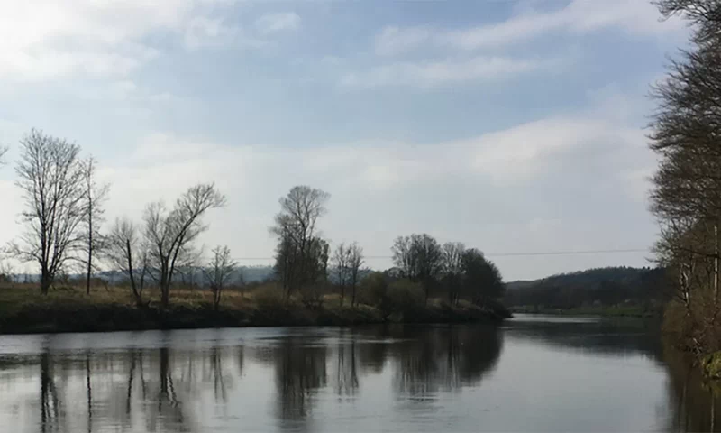
Bathymetric surveys are a type of hydrographic survey which map out the details of underwater terrain, illustrating the depth and land that lies beneath a body of water. Data can be collected for a variety of water bodies, including rivers, lakes and estuaries, and the data can be used to inform flood assessments and project developments.
Traditionally, Bathymetric surveys are conducted using an echo sounder attached to a survey boat. As the boat moves across the water, the echo sounder will generate electrical signals. These are then converted into soundwaves by an under-water transducer. Soundwaves will bounce off features under the water and this echo is then identified by the echo sounder and the distance to the identified feature is calculated. Bathymetric survey systems rely on highly accurate GNSS (GPS) systems to link each measured distance to a particular depth on the surveying map. The next stage in a bathymetric survey consists of transforming the captured from the boat into an elevated model.
Bathymetric Surveys Methods
There are an array of methods and tools that can be used to produce a bathymetric survey, some of the more common methods include:
Multi-beam survey – This involves attaching an echo sounder to a boat, which then sends out an array of beams across the waterbody floor. When the beams are bounced back from the waterbody’s floor, data is collected and is then processed, so that data can be viewed in real-time during the survey.
Single-beam surveying – As the name suggests, this involves sending out a single-beam directly underneath the boat to identify the depth of the waterbody. Typically, the single-beam method is used on smaller areas of water.
Acoustic Doppler Current Profiler (ADCP) – This method involves the use of soundwaves to measure velocity. The soundwaves are transmitted into the water and as they are reflected off sediment and other materials within the water, data can be collected.
Sub-bottom profilers – This method also adopts the use of soundwaves. However, unlike the ADCP, the soundwaves are directed at the waterbody’s floor to identify the layers of sediment and other rocks that lay beneath the floor.it is used to view the layers of sediment and rocks under the water body floor.
At Landform Surveys our preferred method for conducting a bathymetric survey is the use of a remote-control survey boat, combined with the use of echo sounding technology to identify the water depths, with positions being recorded using GPS or total station.
Why are they important?
Bathymetric surveys can be important for a wide number of reasons, particularly in terms of aiding navigation and dredging activities, and supporting land projects.
Navigation– Having an accurate survey of a body of water is crucial to enable safe navigation for boats, ships, and vessels through the water. Bathymetric surveys can help these watercrafts identify whether the water is too shallow for passage, which is particularly useful for rivers and harbours.
Dredging – Bathymetric surveys are commonly used as part of the data collection process for dredging and maritime infrastructure works, as it establishes the subsea conditions, as well as the contours of the seafloor. This vital information informs decisions regarding dredging tools that will be used and creates a baseline for both measuring environmental impact and for measuring dredging accuracies.
Land Development Projects – Bathymetric surveys can also be useful for land development projects, such as urban planning, bridge building and housing. These surveys identify the features of a body of water, so project plans can be developed around this information, reducing the likelihood of timely errors and misjudgements occurring.
Which Business Types Would Benefit from Bathymetric Surveys?
Bathymetric surveys can be used for a range of businesses and project types. Commonly, these surveys are used for the following applications:
- Dock and Harbour Engineering
- Flood Management and Prevention
- River Maintenance
- Irrigation
- Waterpower
- Sewage Disposal
However, as mentioned above, other industries, such as construction also rely on bathymetric surveys for certain projects.
More About Landform Surveys
Here at Landform Surveys, we have over 15 years’ experience in creating surveys. As well as bathymetric surveys, some other services we offer include topographic surveys, measured building surveys, and drone surveys. If you would like to find out which services your project would benefit from, or you are wanting more information on our bathymetric surveys, then contact our expert team today.
