Watching a river flow by is often a peaceful experience, as it goes by of its own accord. But there is actually a lot of science behind why a river flows how it does and what will change a river’s flow over time. Before any type of bridge can be built or property, whether commercial or domestic, that will potentially affect the river, a survey needs to be done to evaluate the impact these structures will have.
In the past, Landform Surveys has surveyed rivers largely to do a flood risk assessment, either before or after flooding has occurred. This involves looking at the structure of the physical environment of the river (which means getting into the river itself!) as well as the area surrounding the river. This includes careful evaluation of both banks and the channel of the river. There isn’t set parameters for how large of an area will be surveyed as the topography of each river is different and each potential new structure will have different considerations.
When a river survey occurs, it is the duty of the surveyor to provide an accurate report of the potential impact of any development or engineering works. This isn’t always the result that a developer necessarily wants as developments can negatively impact a river and increase the risk of flooding. By doing a river survey though it is also possible to look at alternatives to come up with a solution that is mutually beneficial for all.
It’s not just buildings or bridges that can make a difference to the flooding possibilities of a river. Even the addition of flood defences, drainage or utilities, nearby roads and erosion prevention, while good intentioned can be detrimental if not evaluated properly.
As rivers flow through both city and countryside, changes to river environments affect both urban and rural communities alike. Even if the effect isn’t felt in the area surrounding where the works would be done, depending on the properties of the river, it is possible that the effects will be felt up or downstream. This is particularly true of the addition of dams, or new drainage and utilities.
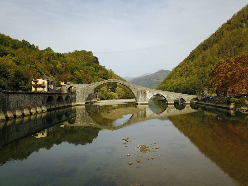
River surveys are particularly important when a potential bridge is going to be built. While a bridge may not affect the flow of a river when the water level is normal, surveyors have to look at what the effects would be when the river is at different levels and under different circumstances. This can include levels of debris that might build up around the bridge as well as different levels and durations of flooding.
So surveying a river and getting accurate data around the impact of potential works is important to keep flooding at a minimum and communities and properties safe. If you’re looking to commission a flood risk assessment or bathymetric survey, get in touch.
