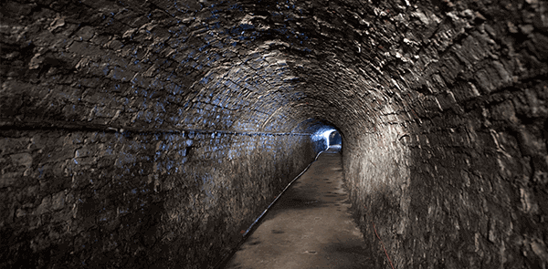
We often forget that there's an entire world beneath our feet, and even when we do, it can be somewhat disappointing to realise it's more extensive cable network than the lost city of Atlantis. However, without the subsurface infrastructure so intricately woven under our roads and pavements, we'd live very different lives.
When developers start scoping out a site, they will typically commission an underground utility survey to map exactly what is under the ground, as well as where it is. Developers need to know the whereabouts of all types of subsurface utility infrastructure – like pipes, cables, ducts, sewers, and drainage – before they can start to plan the project. This allows for environmental constraints to be observed during the design and planning stages, which reduces cost and minimises risk.
What is an underground utility survey?
An underground utility survey – like the name suggests – is a type of survey used to determine the type and location of subsurface utility infrastructure in order to create a comprehensive map for the client. Doing so is vital for ensuring the limitations of a project right from the beginning.
Mapping using data collected from an underground utility survey reduces project planning time, as well as minimises the risk of costly adjustments to the design or mistakes further down the line.
Contractors using thorough, detailed, and accurate utility survey maps are able to work confidently prior to and during excavation, as well as provide the right protection for their workers as per health and safety regulations.
What underground utility surveying methods are there?
There are two main types of underground utility survey methods – RFL and GPR. Most surveys of this nature will require a combination of the two to ensure that the map produced is as accurate and comprehensive as it possibly can be.
Radio Frequency Location (RFL) technology is the most popular data collection method used in underground utility surveying and works by tracing the signals emitted by targets beneath the ground.
It features two modes – passive and active. Most utility surveys will use active RFL scanning to determine the position and depth of the target in question.
For RFL to work, the target must emit a signal, meaning it can only pick up the locations and dimensions of metal objects. RFL is useful for collecting information on:
- Metallic fuel pipes
- Metallic vent pipes
- Electricity cables
- Telecommunication cables (metallic)
- Communication cables
- Metallic water pipes
- Metallic gas pipes
- Cable TV cables
Ground Penetration Radar / Ground Probing Radar (GPR) technology is used to locate objects which, essentially, are of a different material to the surrounding environment. Although this type of radar is not as exact as RFL – it can’t give exact sizes or material readings – it is useful for finding the location of objects buried underground, which would otherwise be invisible.
GPR surveys are used to detect the following:
- Fibre optic cables
- Plastic gas pipes
- Concrete pipes
- Plastic water pipes
- Clay pipes
- Plastic cable ducts
- Plastic fuel pipes
- Plastic vent pipes
Get in touch
We carry out our own underground surveys which are carried out using the latest technology and to the highest standard possible. If you’re interested, head over to our utility surveys page or get in touch with a member of our team today.


