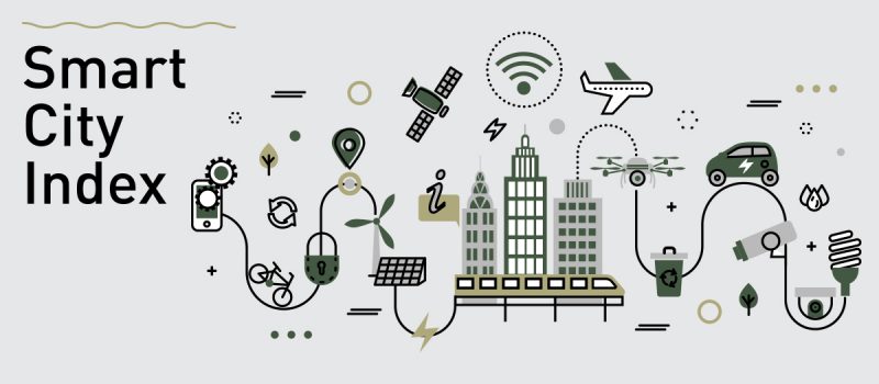
The first edition of the IMD Smart City Index 2019 was released at the start of October, ranking 102 cities in order of ‘intelligence’. It was presented by the IMD World Competitiveness Centre’s Smart City Observatory, in a partnership with Singapore University of Technology and Design. The index focuses on how residents perceive the effectiveness of efforts to make their cities ‘smart’. Read on as we explore the cities that have secured the top 5 spots and how surveying prepared them for the implementation of such technologies.
5. Copenhagen
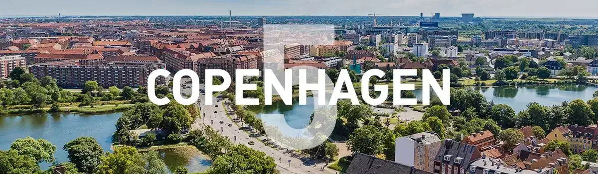
The Danish capital is regularly recognised for its ‘smart’ set-up. One of the main drivers of this is the Copenhagen Solutions Lab who “work with intelligent technologies to create data-driven solutions that meet the needs of the city and its citizens”. This resource allows the city planners to test out new concepts in real-life settings, but all ideas need the right infrastructure in place to succeed.
As part of the Smart City Index 2019, Copenhagen scored highly for; online reporting of city maintenance, free public Wi-Fi, car-sharing apps which have reduced congestion and online scheduling and ticket sales for public transport.
Surveying ahead of public Wi-Fi integration occurs in order to assess the desired reach of signal, the best place to set up the internet hub, and any obstructions that could affect the quality of the internet. Topographic surveys visualise the height of structures surrounding an area, identifying any barriers that could affect levels of signals. Drone surveying, on the other hand, can build up a visual overview of a city, identifying green spaces and parks where a Wi-Fi hub could be useful.
4. Geneva

Geneva is using the abilities of the internet to improve the quality of life in its public spaces. Stand out factors in their Smart City Index 2019 evaluation included; over half of citizens are willing to concede personal data to improve traffic congestion, CCTV cameras make residents feel safer, and their bicycle hiring scheme has reduced congestion.
The city’s ‘Smart Canton’ project is piloting sensors that interact with connected objects such as telephones and GPS devices to improve the level of service provided to residents. Gianfranco Moi, Deputy Director General for Economic Development, Research and Innovation for Geneva highlights the preparation needed to succeed as a smart city, “In order to build a smart canton or smart city, we need solid infrastructure, reliable networks, sensors deployed in the environment and analytics to collect and analyse all this data.”
Utility surveying plays a huge part in creating this solid infrastructure. This type of survey can map buried services such as water, gas, power and telecommunications so that they are not interrupted during any new projects or affected by any future structural changes.
3. Oslo

There are many smart concepts that are underway in Oslo including; electrical buses, zero-emission construction sites, retrofitting existing buildings and developing a circle-based waste management and green energy systems. On the government website, it states, “Any citizen-oriented services that can be digitalised will be digitalised and the needs of the citizens are the guiding principles for development”.
These projects are clearly having an impact on citizens as residents voted the following highly as part of the Smart City Index; recycling services, green spaces, online scheduling and ticket sales for public transport and online purchases of tickets to shows and museums.
Examples of retrofitting projects include adding motion sensors that control lights as people move in and out of rooms, adding rooftop solar panels and implementing an internal spiral staircase which doubles as a ventilation shaft. Measured building surveys are necessary before any of these structures are implemented, this can be carried out as a basic floor plan or a detailed 3D model – providing insight into how the new initiatives will affect the existing building.
2. Zurich

The largest city in Switzerland is making waves when it comes to becoming ‘smarter’. Many initiatives have become digitised, from debt collection to an app for reporting pests and applying for parking permits.
The standout indices of the Smart City Index 2019 for Zurich include; online reporting of city maintenance, public transport and the purchase of tickets to shows and museums which make it easier to attend.
Working towards its goal of a 2000-watt society, the City of Zurich has developed an information platform called EnerGIS. Through this, homeowners can access information on which energy sources are available to their building, making it easier for residents to switch from fossil fuels to a renewable energy source.
This is based on GIS (geographic information system) data, capturing accurate spatial and geographical information. GIS surveys can interpret data and map relationships and patterns, this is useful for residents who may want to see what energy source other people in their neighbourhood are using.
1. Singapore

Singapore is widely recognised for its ‘smartness’ and ‘AI readiness’, it appears they have the infrastructure in place to take on any future technology concepts that may improve quality of life for residents.
The city has developed a range of apps that are designed to be useful for living and navigating around the city. This includes ActiveWallet where people can book programmes and sporting facilities, Beeline which allows suggests travel routes and book seats and Dementia Friends which provides resources on how to support dementia sufferers.
As part of the Index, the city stood out for; basic sanitation to meet the needs of poorest areas, lack of traffic congestion, use of CCTV for resident safety and their online platform where residents can propose ideas to improve city life.
A city-wide site survey is required before CCTV is installed, this is likely to be a topographic or drone survey which provides visibility over the entire city. This allows urban planners to identify the best areas for CCTV coverage and map out the areas that will be covered by each camera.
Many cities are implementing initiatives that are allowing them to become smarter. Other cities are ensuring that they have the right infrastructure in place for when the time comes to integrate smart technology. Surveying plays a huge part in this preparation process, paving the way for more cities to receive a ‘smart’ status.
Does your project require surveying expertise and services? Don’t hesitate to get in touch with us today.
