A current talking point in the surveying sector, that requires attention, is the integration of Virtual Reality (VR) technologies in the BIM process within 3D laser scanning surveys. With VR systems being widely influential and adopted across a multitude of industries, the surveying sector is no exception. There has been a significant increase in interest and use of VR to complement BIM within 3D laser scanning. This guide aims to explore the fundamentals of VR, BIM and 3D laser scanning, and will discuss the potential benefits that can be achieved from using VR alongside BIM in 3D laser scanning.
What is 3D Laser Scanning?
3D laser scanning is a vital part in enabling 3D modelling and Building Information Modelling (BIM). 3D laser scanning surveys are used to collect data points from a building or structure remotely; this is done to a level of detail and at a speed which conventional survey methods are unable to match.
This form of surveying uses non-invasive technology to capture the data points, which are then mapped onto a grid co-ordinate of x, y, and z, this is referred to as a point cloud. Almost all laser-scan data takes the form of a point cloud, as it can accurately represent buildings, structures, and objects.
What is BIM?
Building Information Modelling (BIM) involves the collaboration of people and information in a system that combines data capture as part of a larger framework of project processes. In the surveying industry, it is imperative that collaboration between people, and between people and information, is effective as it ensures transparency of data, and immediate retrieval of information.
Within surveying, BIM use has become widely accepted and most surveying specialist will use BIM applications for their projects. BIM technology is used to provide clients with 3D renders of multitude of projects and can be accessed by everyone who is working on the project, this essentially improves efficiency of projects. If you want to find out more about the benefits of BIM, see our article Top Benefits of BIM Surveys.
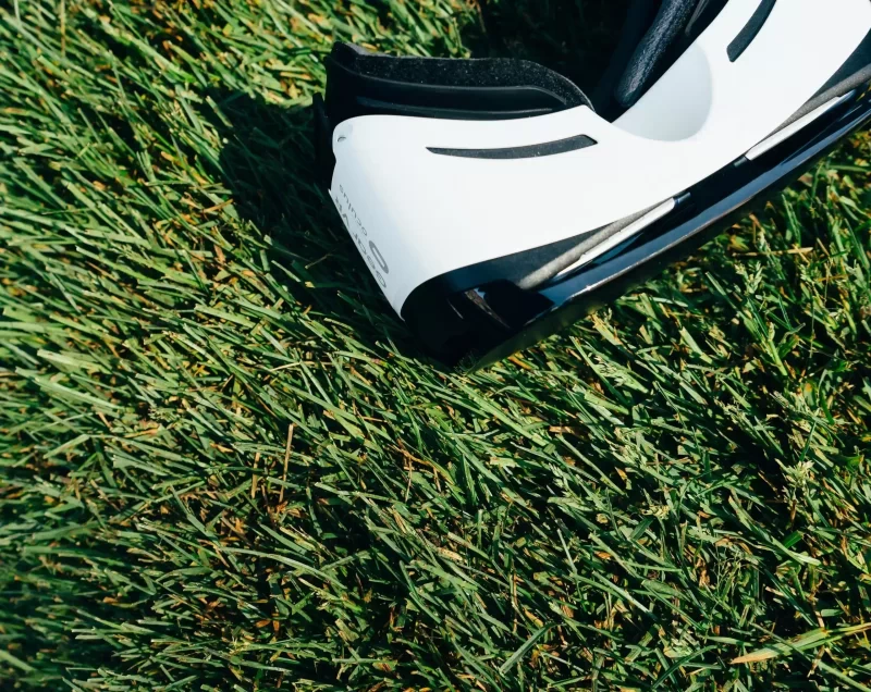
What is VR?
Virtual Reality involves a simulation, that allows the user to interact with an artificial three-dimensional visual or other simulated environment. These simulations are created using computer modelling technologies. Virtual reality is no longer only used for gaming simulations, but now has a whole host of other uses across a wide array of industries, including the surveying industry.
In the field of virtual reality, there are extensive possibilities and huge potential for it to be combined with other surveying technology and software to enhance a diverse range of projects.
How Do All Three Complement Each Other?
3D laser scanning is always an initial step involved in the BIM process. Laser scanning technology provides the required level of accuracy and detail to generate point clouds which can be seamlessly integrated with the BIM process.
The 3D laser scanners capture these high-density point clouds of existing structures, buildings or sites, and this data is then transformed into a BIM model which reflects the current condition of the structure, building or site. As a result of their complementary factors, 3D laser scanning and BIM are commonly used together.
Whilst 3D laser scanning and BIM are incredibly useful and provide an extensive range of benefits within projects, VR can be added to further enhance the BIM solution. Adding VR to a project enables those who are involved to visualise the building model and 3D scan of the building, structure or site in a virtual environment, and can be used through the entirety of the project. Using VR to complement BIM within 3D laser scanning is considered more advantageous than just using BIM and 3d laser scans, as it provides additional benefits.
Benefits of Using VR to Complement BIM
- Identify errors at an early stage in the project – Being able to visualise potential difficulties can be difficult using 2D models. Whereas, using VR and BIM makes it easier to identify potential issues or aspects of the design that could be improved.
- Optimises costs and schedules – As previously discussed, VR is useful for identifying errors at an early stage, which in turn reduces the likelihood of costly mistakes occurring. This also reduces the time that needs to be spent on rectifying
- Enhance Collaboration between stakeholders – BIM alone improves collaboration between everyone involved in the project, however, using VR to complement BIM can make the project more accessible for clients to get involved. Having an artificial representation can help everyone to visualise the project, which is something that some people struggle with. Enhanced collaboration improves communication, which in turn reduces errors and timely reworks at later stages.
It is expected that the integration of VR and BIM will experience rapid growth in the next few years, due to the potential it has for enhancing project capabilities.
Landform Surveys
Contact our team of surveying experts at Landform Surveys to find out how your project could benefit from VR, BIM, and 3D laser scanning surveys. If BIM surveys and 3D laser scanning isn’t what you are looking for, then we also offer a range of other services including Topographic Surveys, Measured Building Surveys and Elevation Surveys, Quarry and Landfill site surveys, GPS surveys, and Engineering/Setting Out Surveys.
