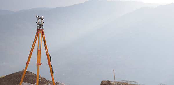
As surveyors, we work in a world where accuracy is of utmost importance to the success of the surveys we produce.
Although the measurements of the Earth’s surface don’t drastically change, the model used to measure it occasionally does. This happens due to new technology and as new research is brought into practice. This is why late last year Ordnance Survey introduced changes to this model used for measurement (also known as a geoid).
Ordnance Survey is the government agency in the UK responsible for the official, definitive topographic survey and the mapping of Great Britain. As topographic surveyors, we pay attention to what the Ordnance Survey does in order to keep our surveys as accurate as possible. As surveys don’t exist in isolation, all surveyors must be working from the same model, which is why it is important to pay attention to these changes.
On average the model has only changed the surface of Great Britain by a few centimetres and probably doesn’t have much significance to people outside the industry. However, it has meant that one of our hills has now “grown” into a mountain.
The most notable change has seen in Calf Hill. Calf Hill is located in the western part of the Yorkshire Dales. When it was last measured in 2010, it measured at 609m, which is just short of the 609.6m or 2000ft of height needed for a mountain. Following the changes to the geoid, the height of Calf Hill now measures at 609.606. This minute change has boosted Calf Hill enough to be listed as a mountain.
So if you have ever climbed Calf Hill, you can now count it as a mountain. It goes to show that while we measure large structures, the units that the measurements come down to are much smaller than the structure itself. Even though surveying is an industry based on much history, it is nice to see that it is still improving for the better as we all strive towards precision.
To read the rest of the story about Ordnance Survey’s changes to the geoid, head over to the Ordnance Survey website.
