In the event of a building renovation, conventional surveying techniques often supply the reader with limited information about the structure of a building. On the other hand, 3D surveys can collect and display more data to provide a bigger picture and help rebuild buildings to look the way that they did before.
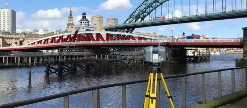
What are 3D laser surveys?
3D laser scans remotely capture data points to create an accurate map of a building or structure. In restoration projects, architects are using these surveys to help inform the rebuild of a historic building. Not only are they useful for partial renovations but also useful for recreating an entire structure in the event of a disaster.
Saving buildings around the world
There have been a few recent examples of where this technology has been used to collect accurate representations of, or assist with a renovation project. Take the Notre Dame, Ulm Minster and Herschel Island as examples.

In April 2019, a fire broke out in the Notre Dame cathedral, damaging the spire and roof of the building. A restoration project has since started, using survey maps to accurately see how the structure once looked.
Professor Andrew Tallon of Vassar College in New York used a laser scanner to survey the building which is what workers are using as a reference point to rebuild the cathedral. The map displays more than a billion points of data which Tallon collected and it is thought to be the most accurate rendering of the building ever created.
He used a rotating laser machine to measure 3D points of the interior and exterior of the church and combined this with HDR photographs to build a full representation of Notre Dame.

Similarly, Ulm Minster in Germany is also under renovation and has relied heavily on 3D laser scanning for the success of the project. Ulm Minster is the world’s tallest church which was built in 1890.
Due to the age and size of the building, the church is going through phases of refurbishment in order to keep it safe for visitors. In the early planning phases of this project, 3D laser scanning was used to avoid collision with historic construction materials. It assisted with scaffold planning, ensuring that the scaffolding fits the church perfectly. Accompanied by detailed drone surveys, a clear picture of the building could be created and referenced throughout.

On Canada’s Herschel Island, digital blueprints have been created using drones and terrestrial laser scanners. These collected data of the exact coordinates of buildings in order to create 3D replicas which could be used as reference points in the future.
The reason behind gathering this data now is the threats that are facing the island. Land erosion, animals and polar tourism are causing damage to the buildings and vegetation. This island has a lot of history, from whalers to the missionaries and is a place that many people want to see. By creating these 3D replicas, tourists who cannot get to the island will be able to see what is there.
When it comes to capturing the features of a building with accuracy, laser scans are certainly a useful technique. Whether it’s to assist with rebuilding, support a restoration or capture characteristics before they disappear, this surveying technique has many uses.
Get in touch with us today for information on how 3D laser scanning could help your project.
