We were approached by our client to carry out surveys and create a Revit model to demonstrate the impact of a proposed tram extension on the local area.
The £207 million extension is designed to allow passengers to travel to and from Newhaven. The development will add 4.69km (2.91 miles) of track to the existing route, taking commuters to the waterfront from the city centre.
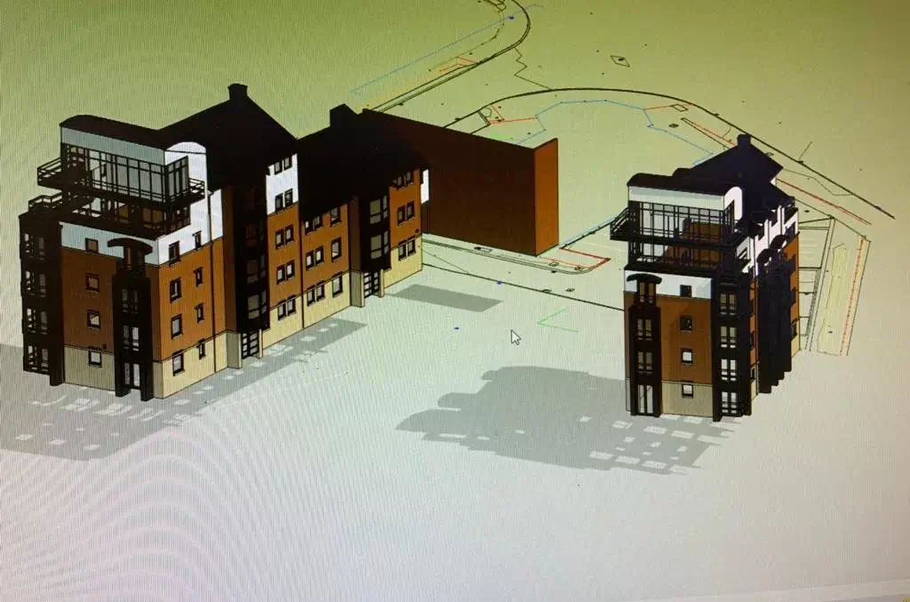
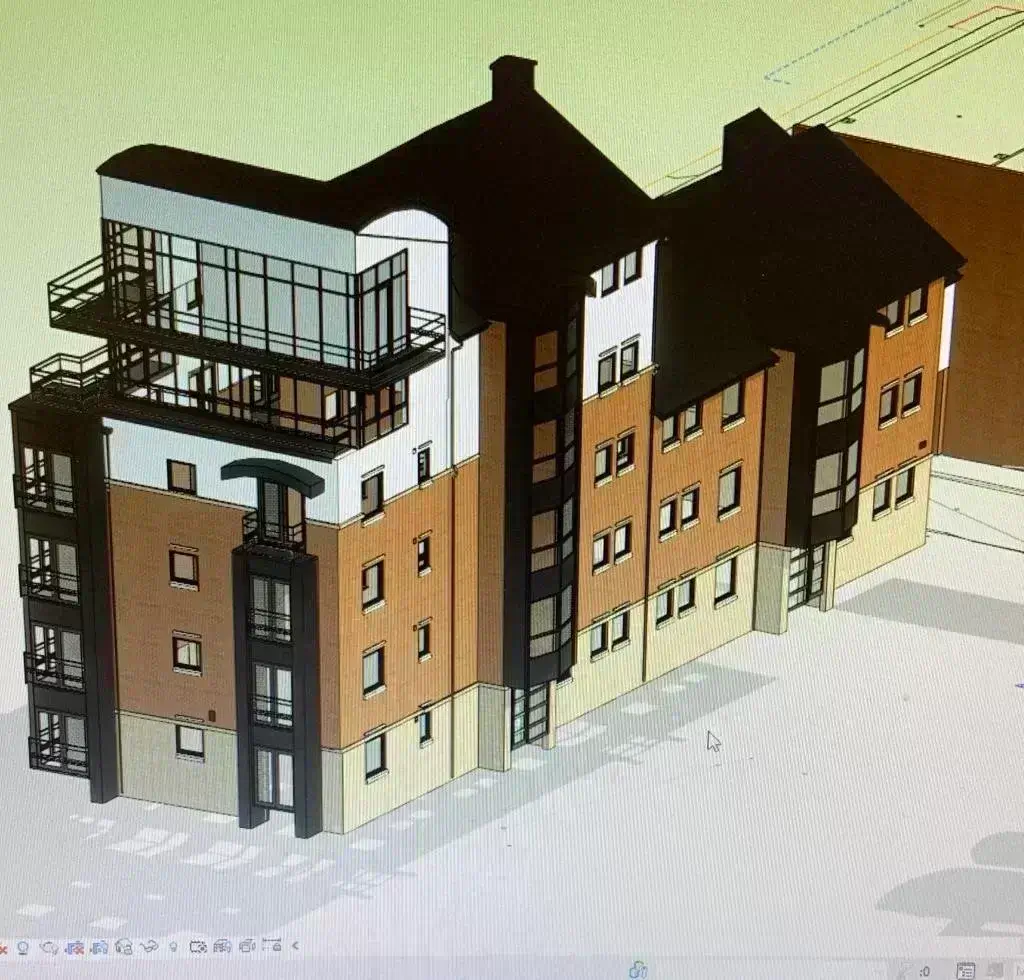
Because the tram extension will run past apartments, the client wanted to visualise the effects that the development would have on properties. They requested a Revit model to show apartment buildings on the new route and a conventional topographic survey and 3D laser scanning survey to identify other factors to consider.
A Revit model is created on Building Information Modelling (BIM) software which includes both individual data points and a visual representation of what is being surveyed. In this case, we plotted the model of the apartments and the proposed tram line to see how the properties would be impacted.
We also carried out a conventional topographic survey which is vital in the design process of any site.
Since our initial works, the tramline has been confirmed to be extended and is set to be complete in spring 2023!
If you need support with a project coming up, get in touch to see how we can help!